


 |
| Orthophoto Pakistan Pesharwar
Umar wrote to me asking if I could also create Orthophoto for the three airports OPPS, OPIS and OPKC. Of course I was happy to do that.
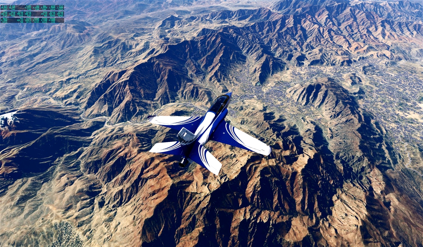
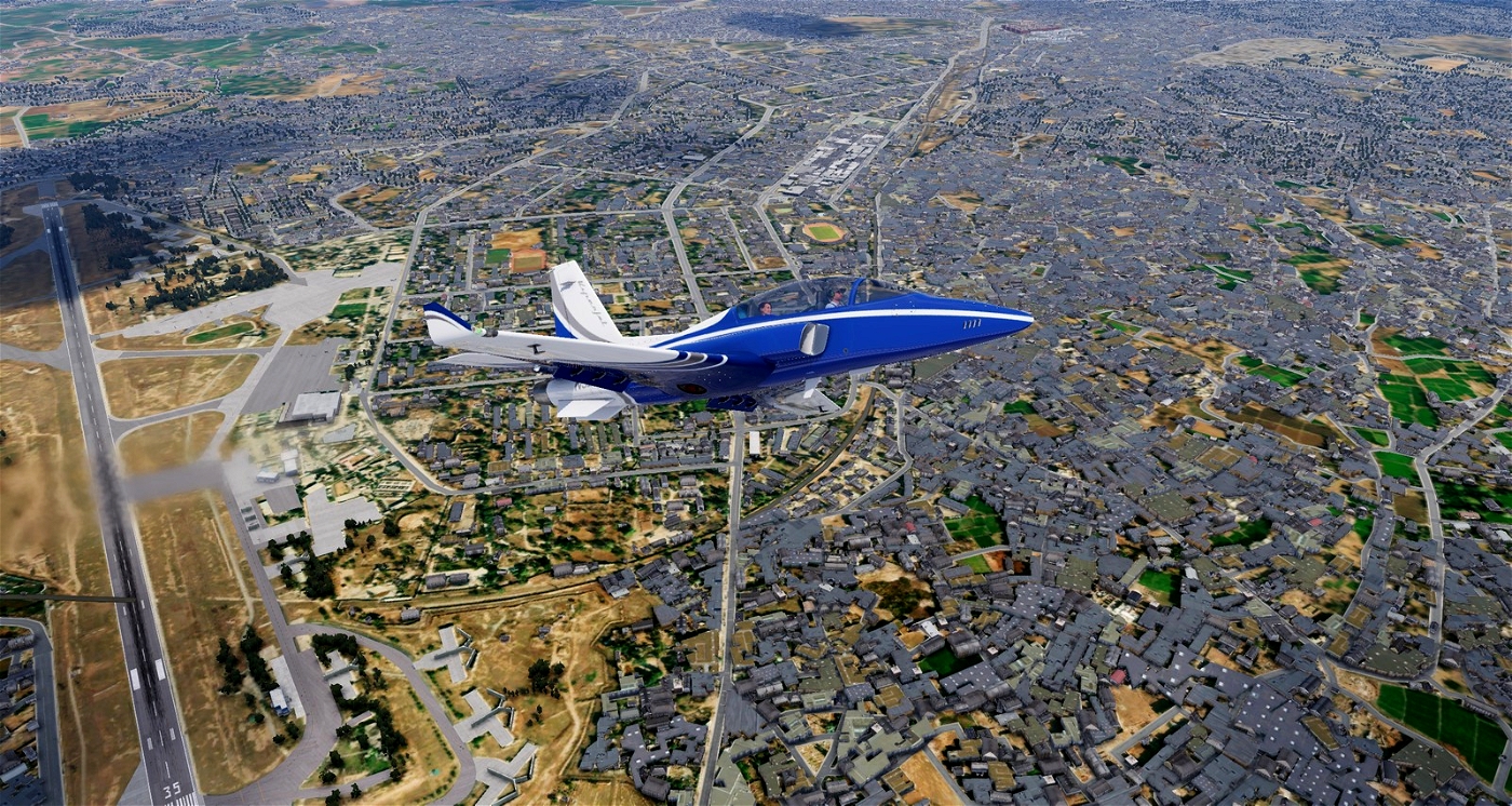
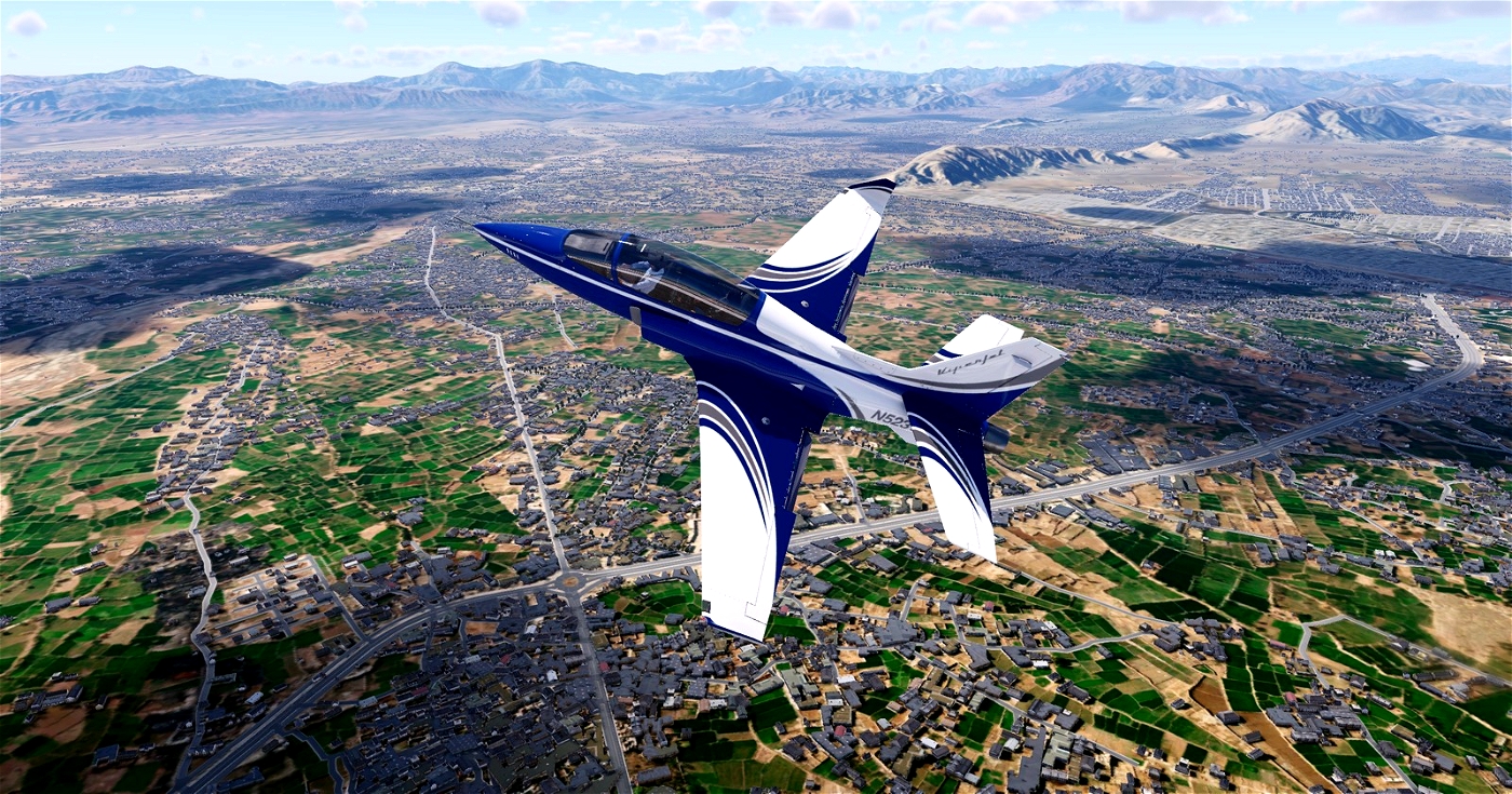
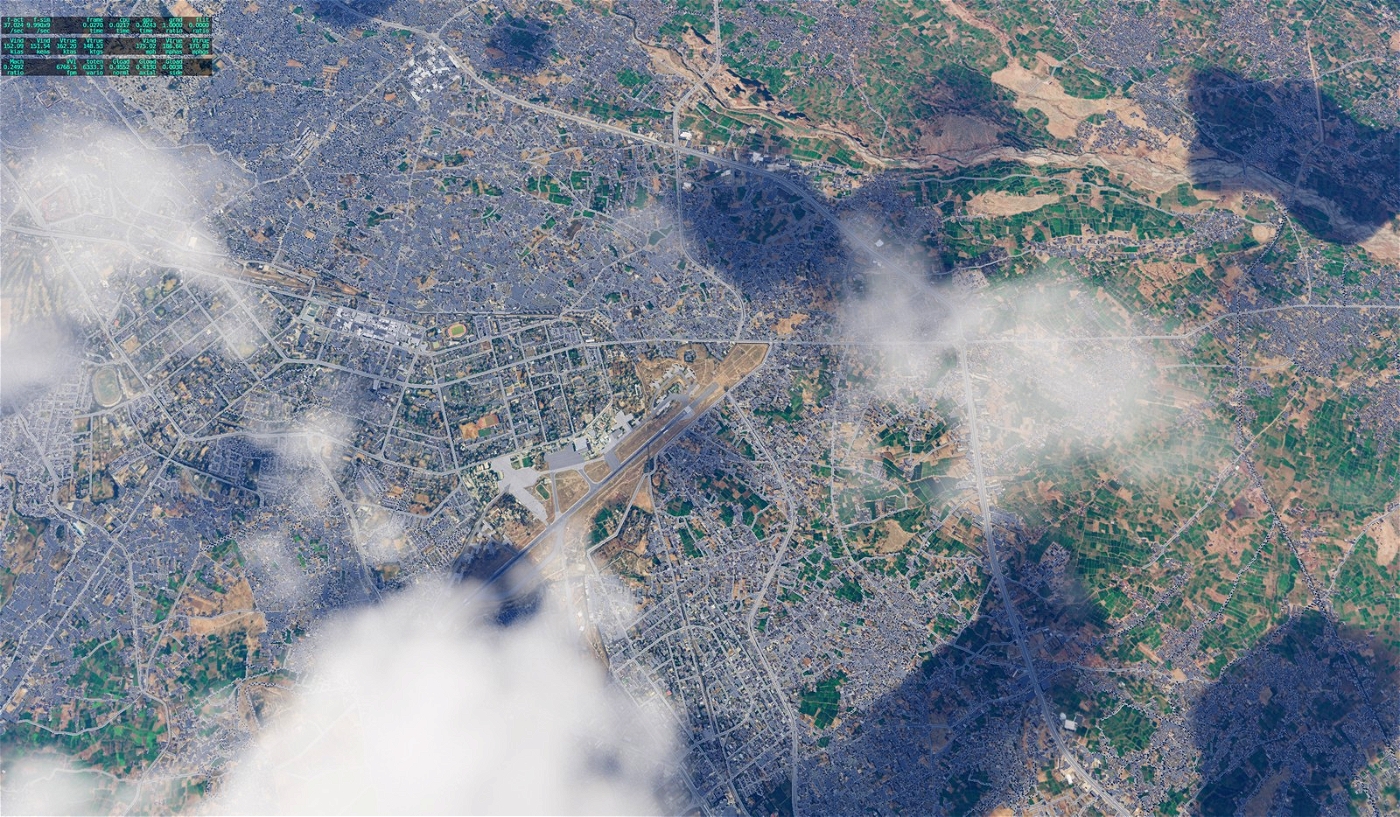
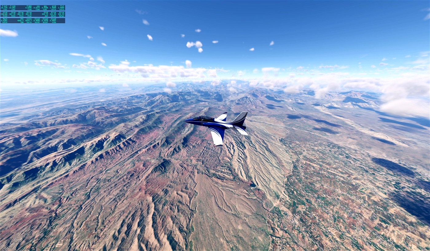
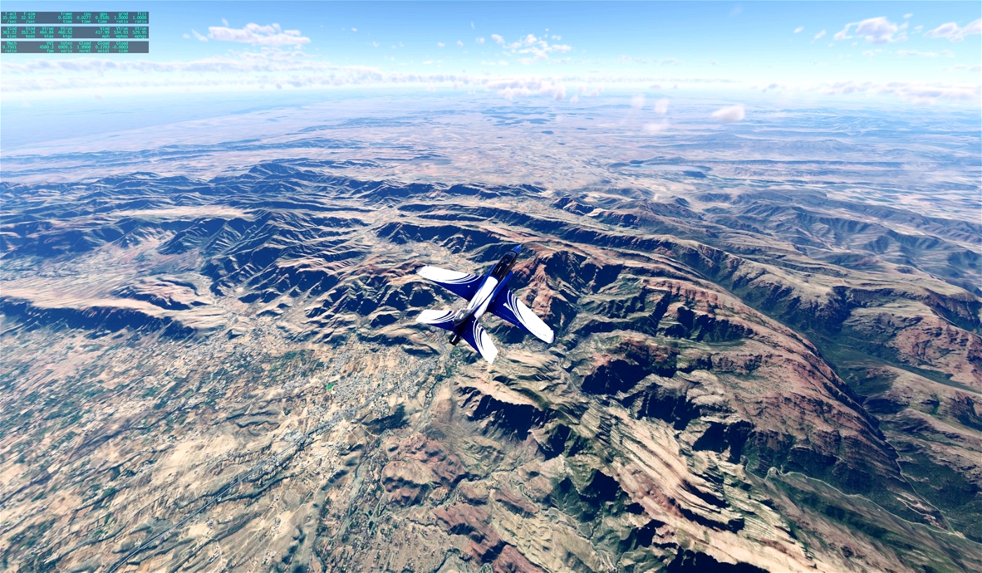
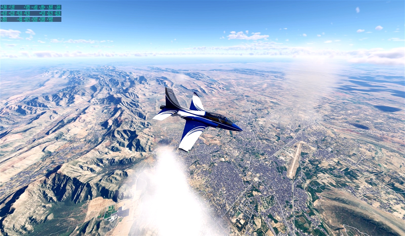
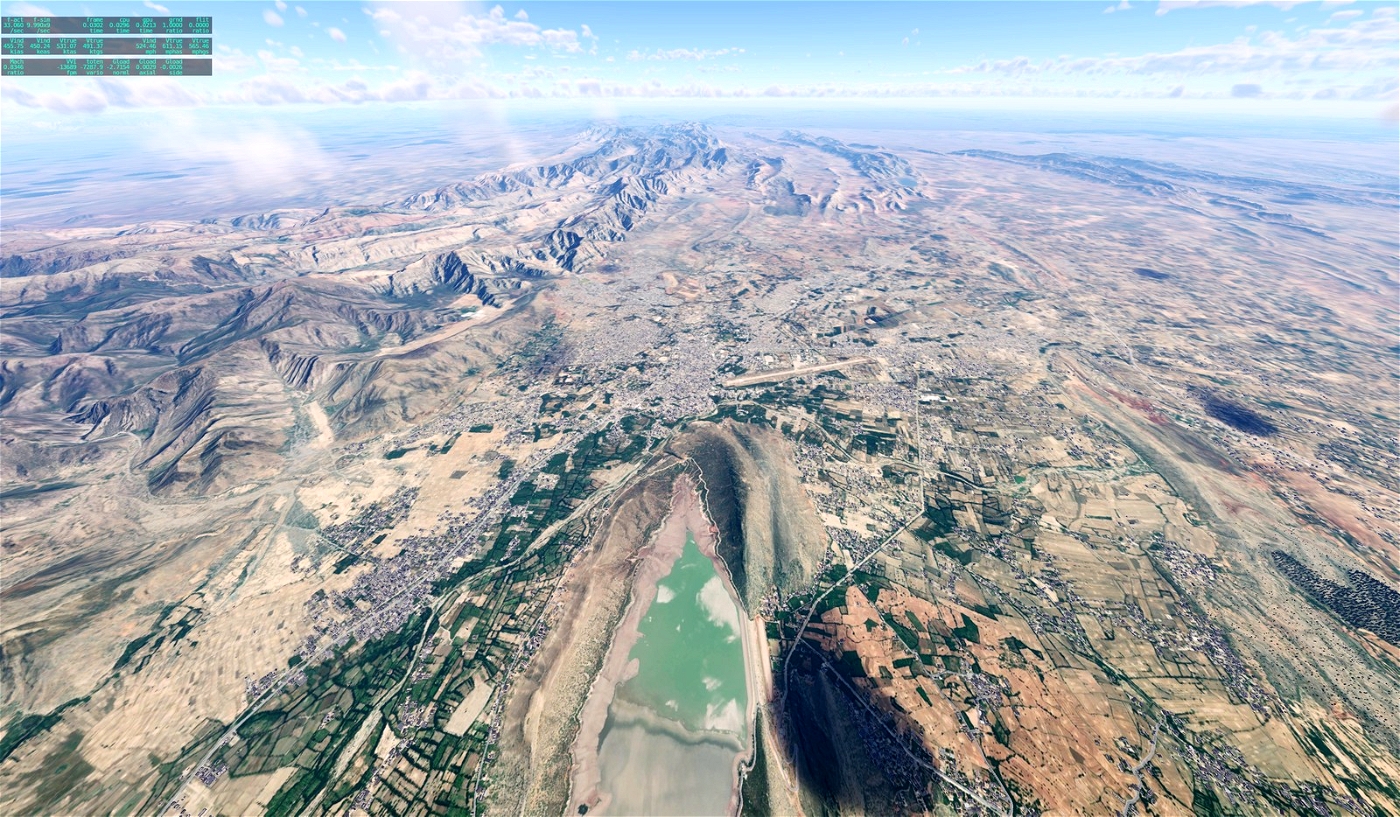
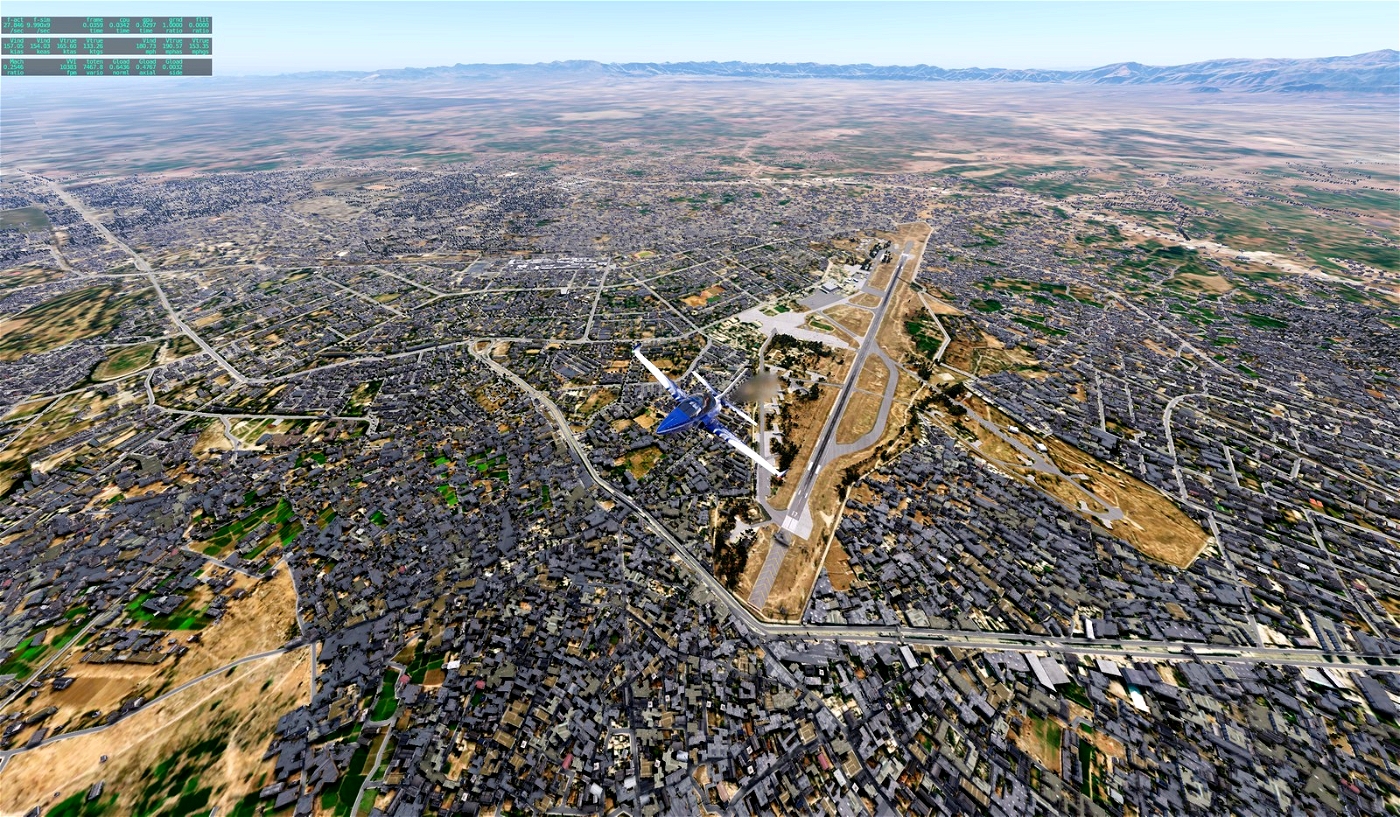
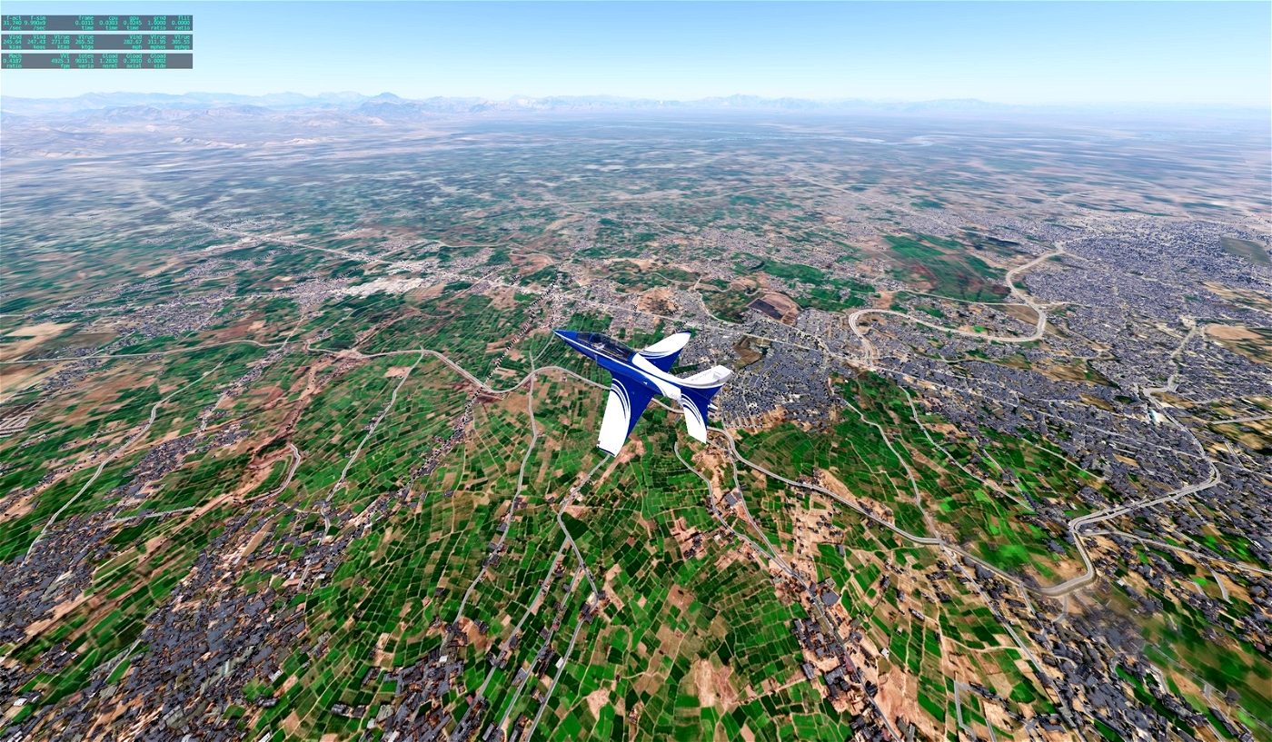
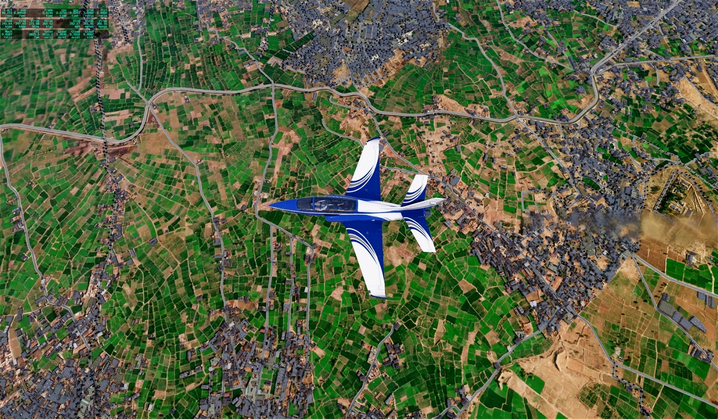
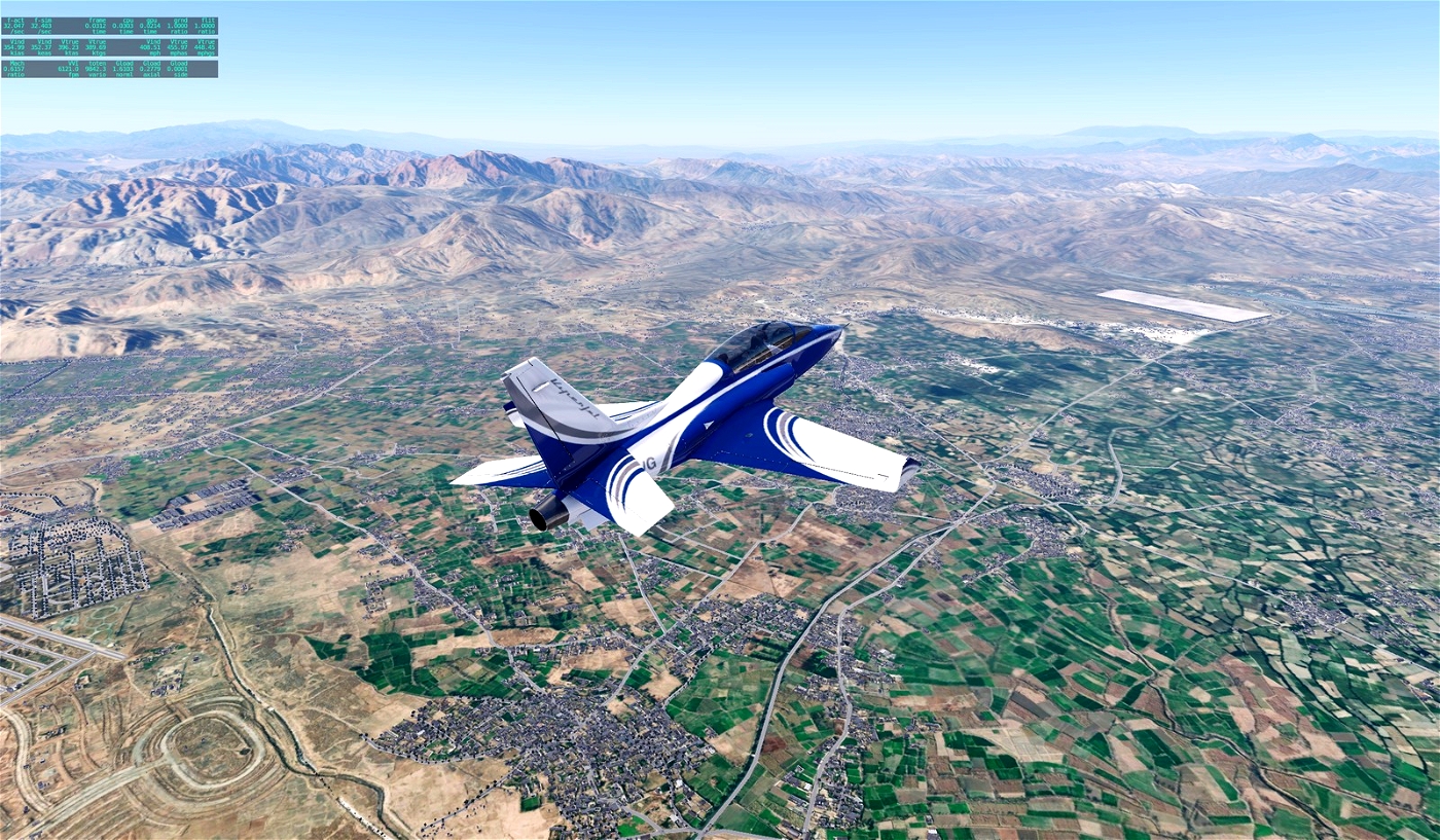
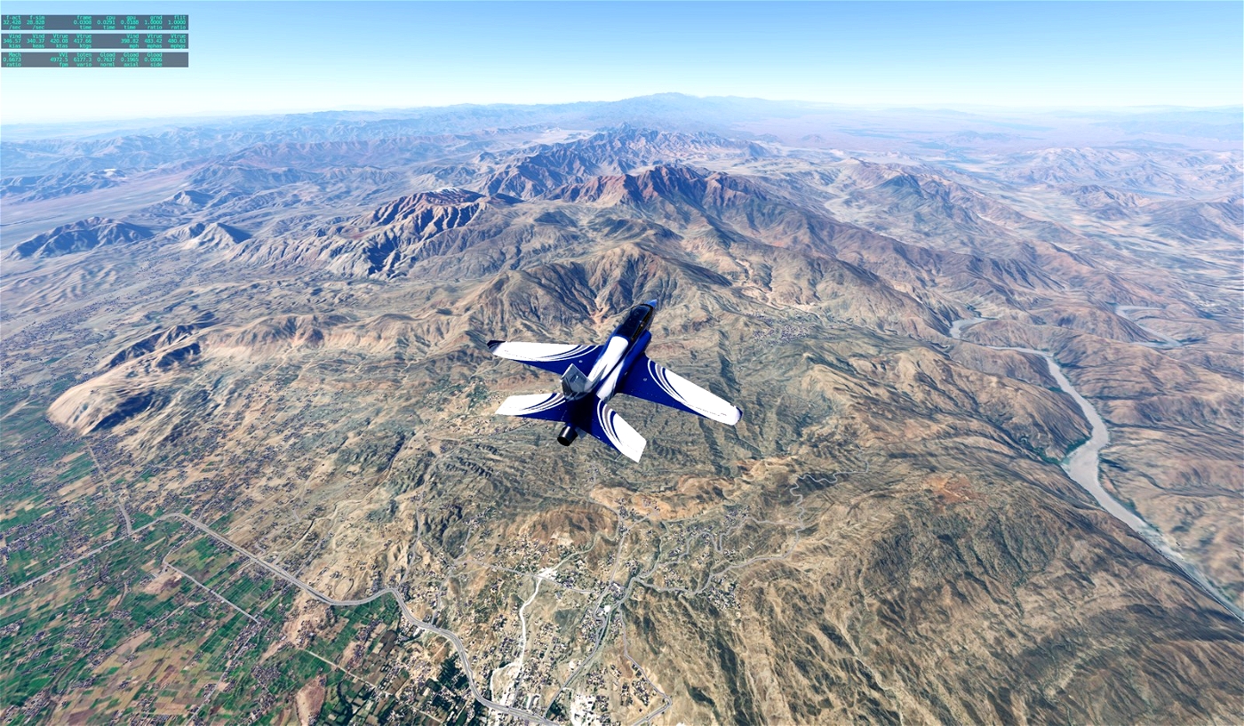
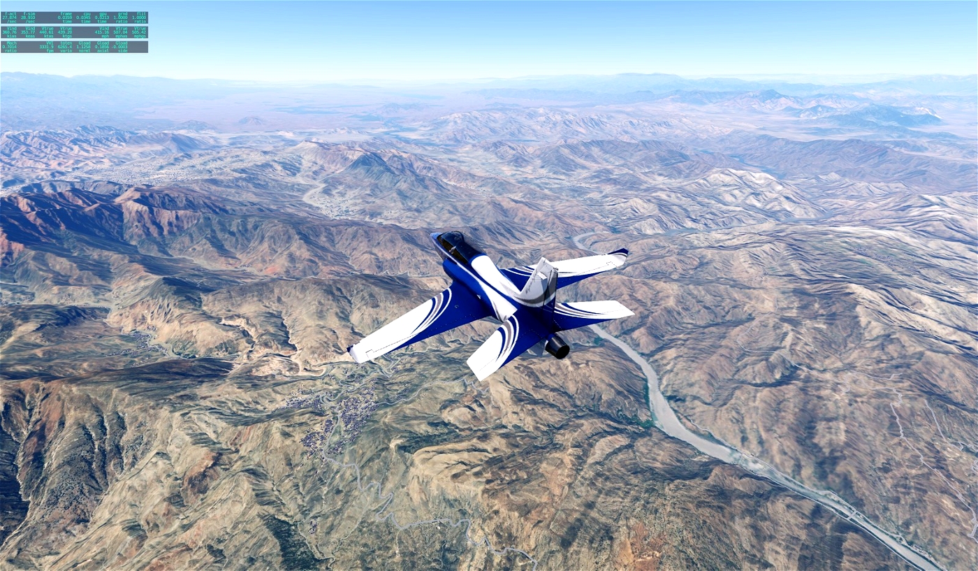
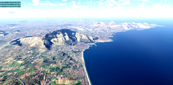
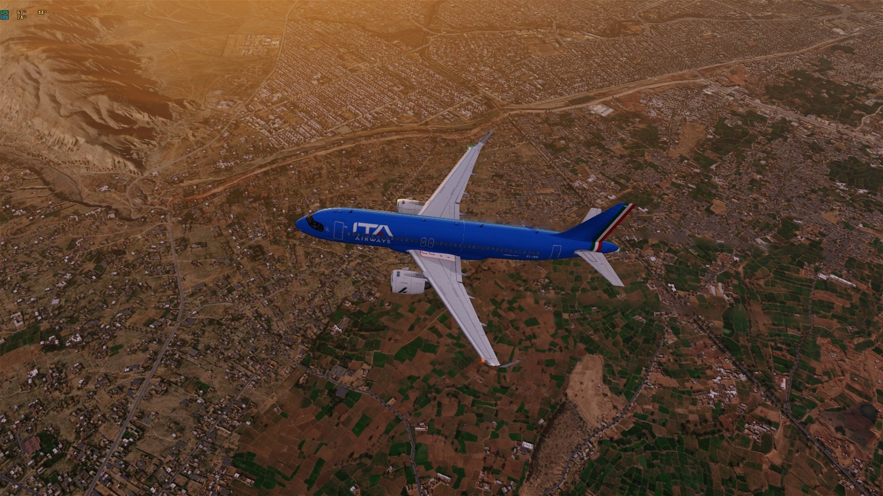
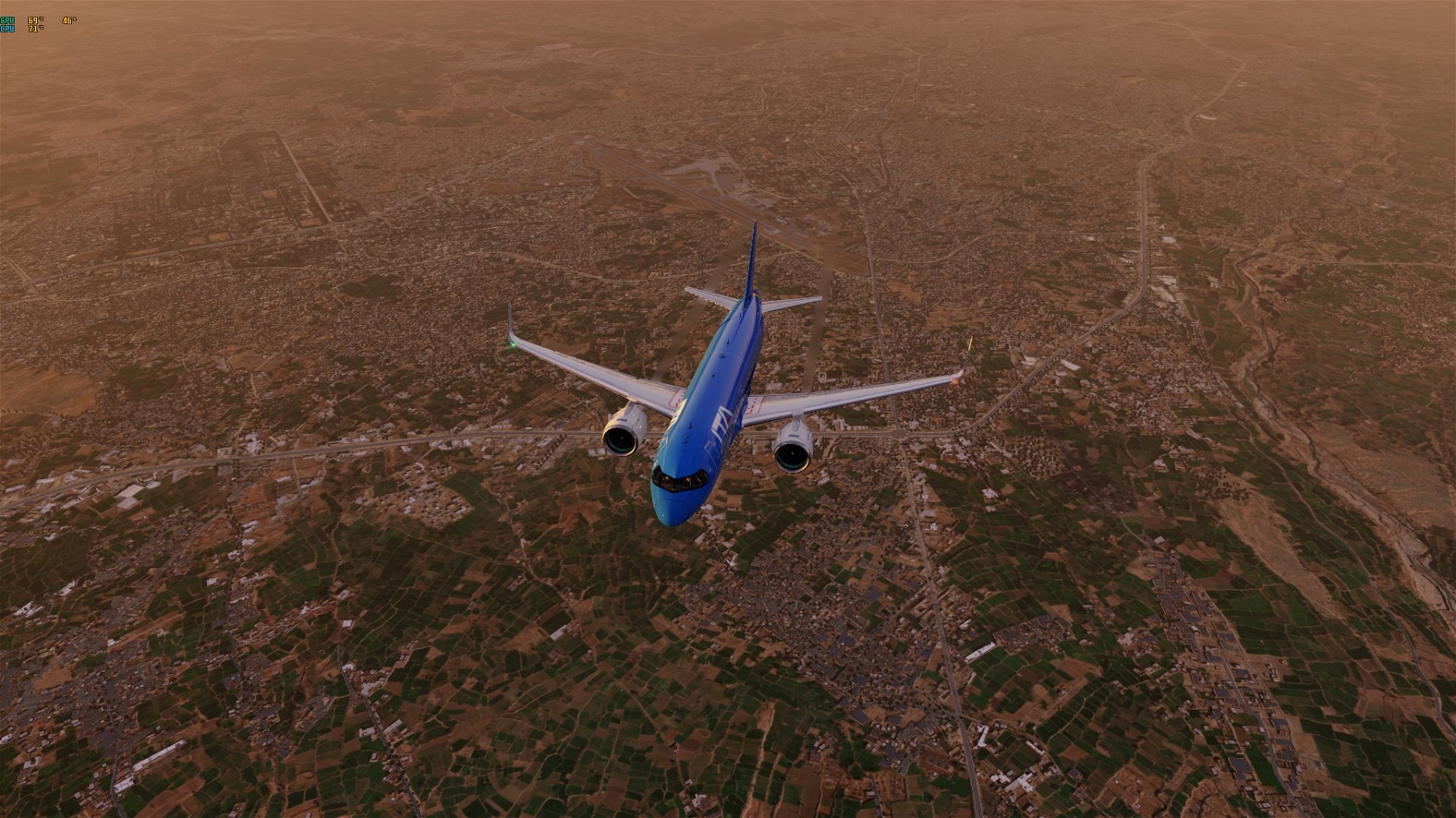
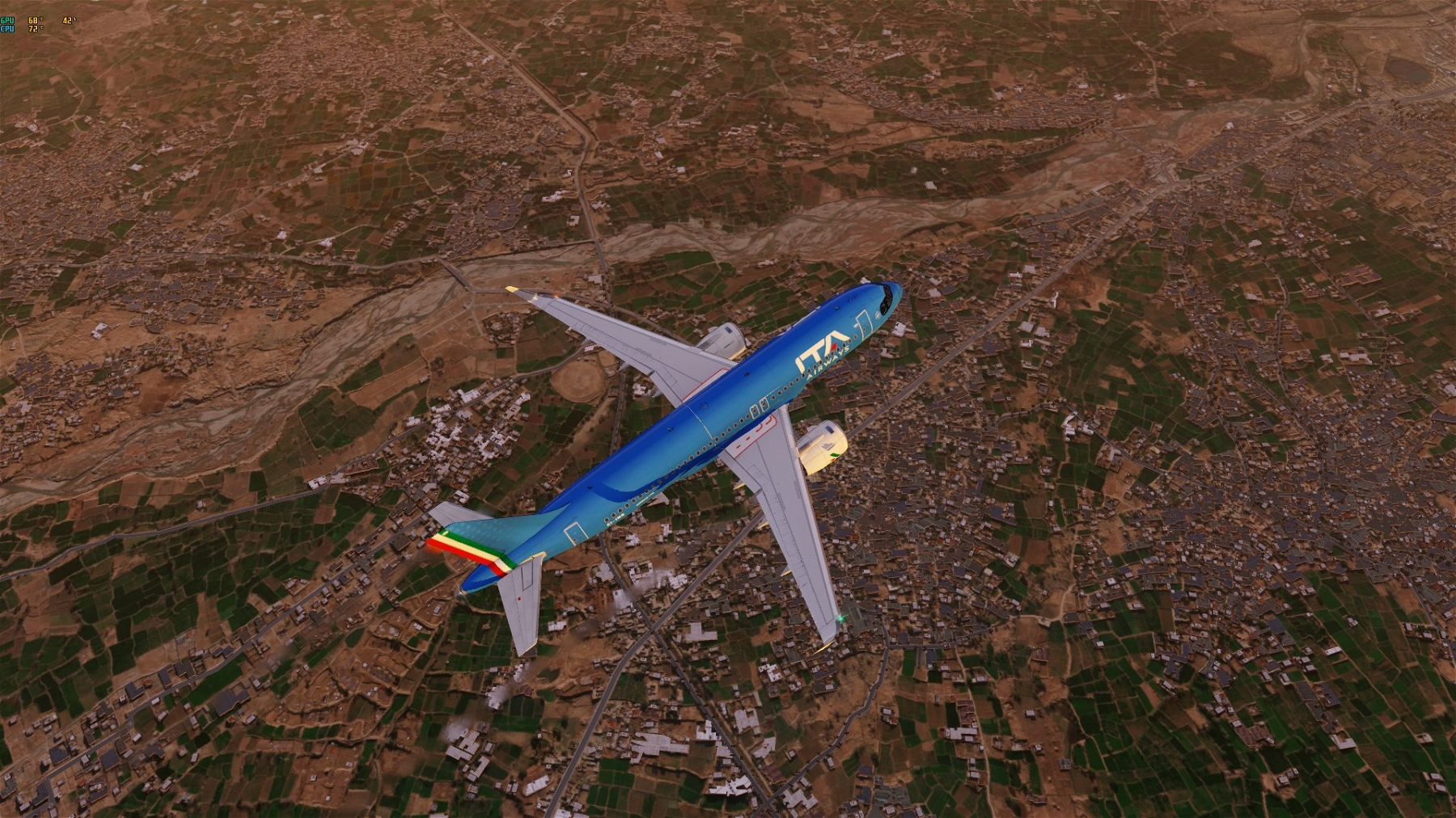
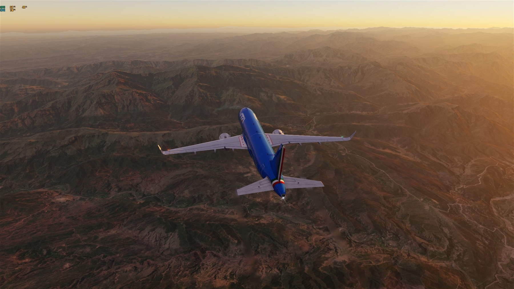
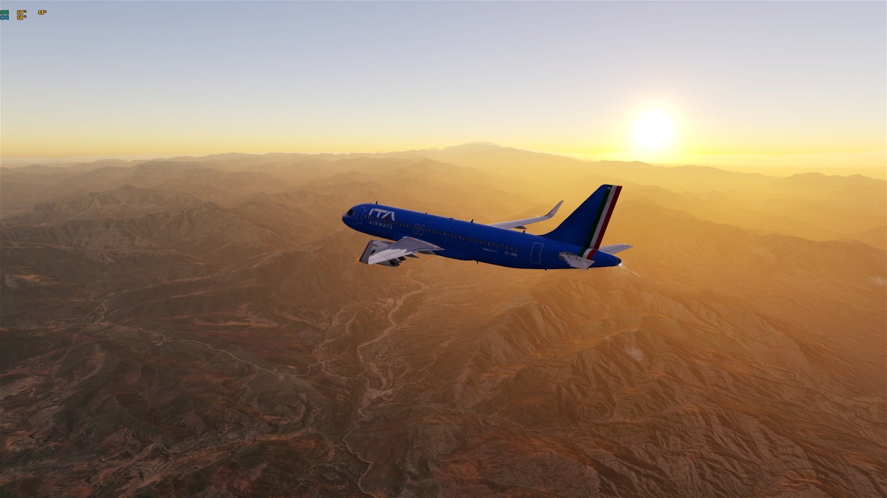
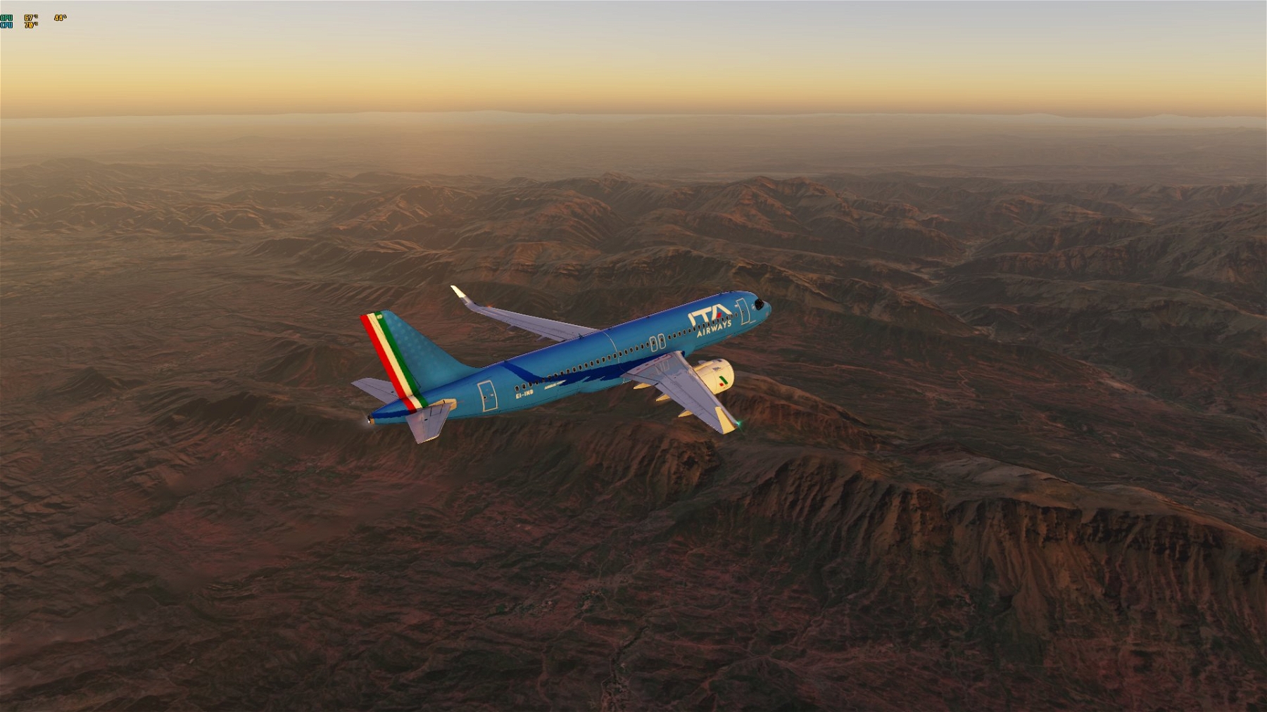
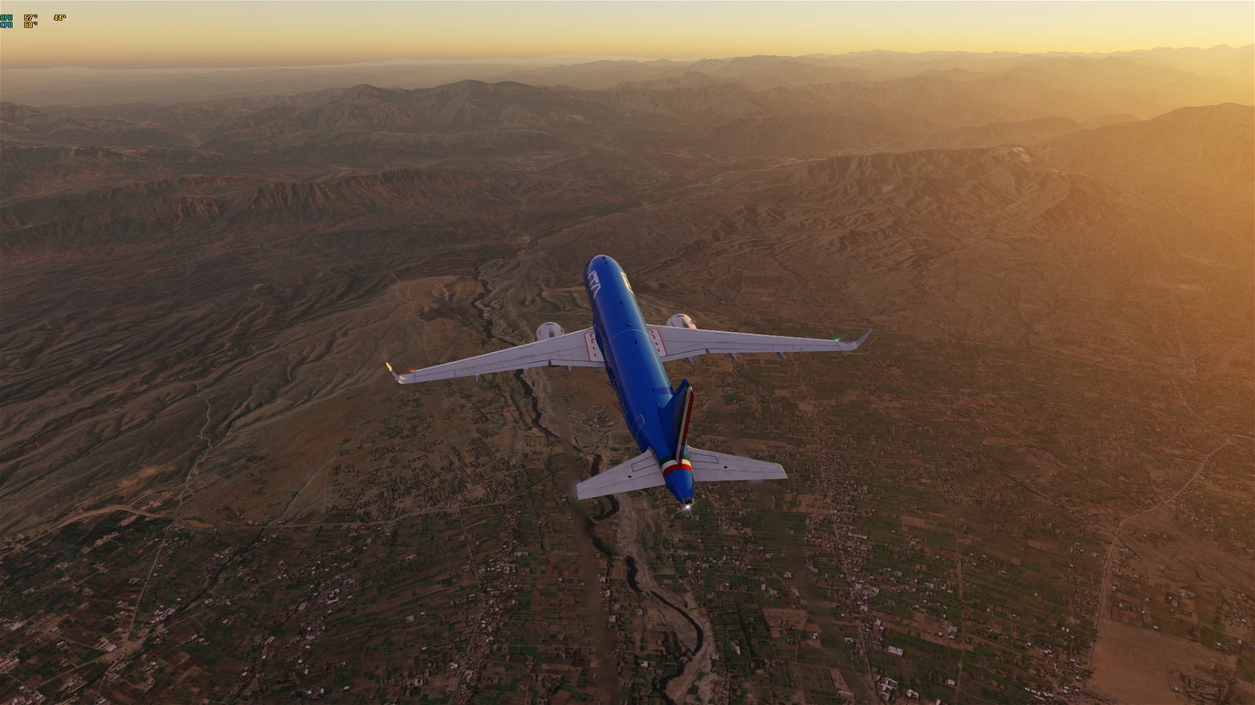
Today Peshawar.
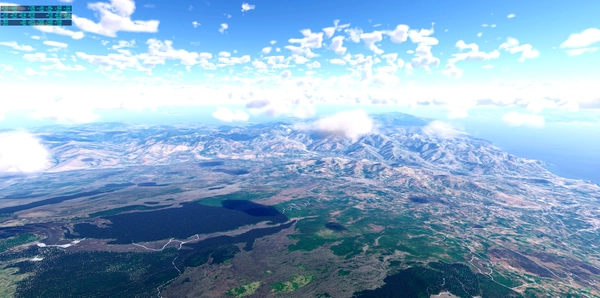
Peshawar includes 2 ortho tiles. The basic resolution is ZL16 to somehow bring the file to the limit of max. 4 GB. However, around the airports this is higher ZL19/ZL18 and decreases with increasing distance. The approach lanes offer high resolution for a slightly longer time.
The file Peshawar north has 2.7 GB uncompressed, Peshawar south 3.1 GB.
After OPIS - Peshawar, the other two airports will follow in the next few days.
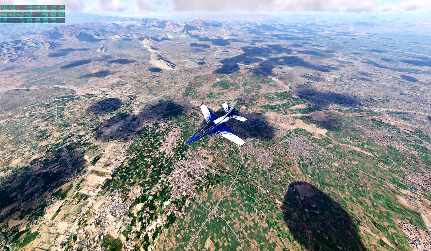
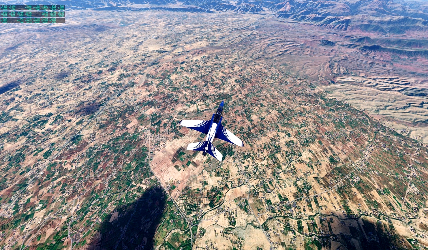
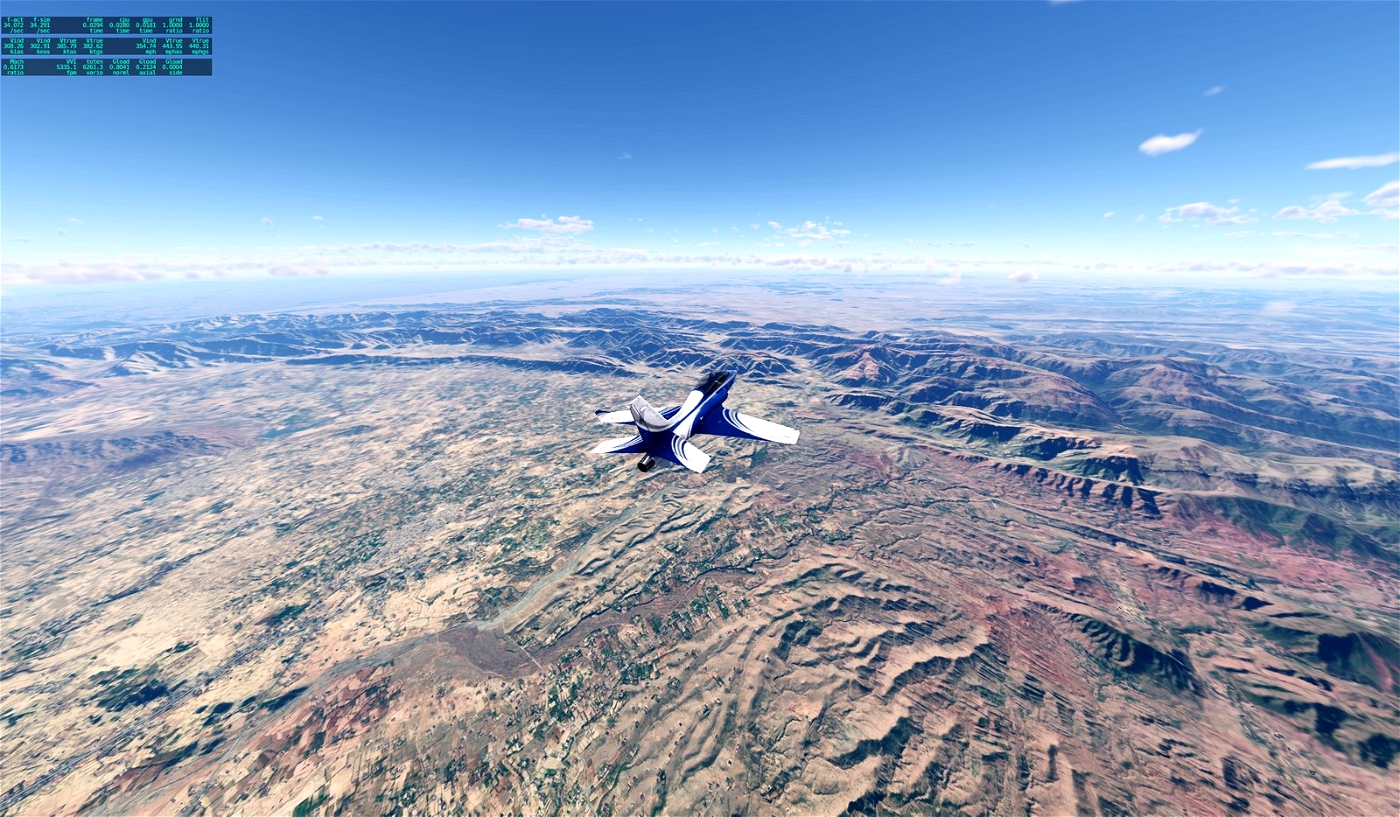
The orthos are ready. ;)
I used Ortho4XP and images from Arcgisonline.
Make me happy and show me photos of how you are traveling through.
Have fun!
PESHAWAR INT'L/BACHA KHAN INTL (OPPS)
PESHAWAR (114.30 PS)
GPS N33°57.48' E71°21.77'


Umar_Wali34
Fantastic Work Andreas. Would share some pictures soon. Thank you
Andreas1975 11 month(s) ago
Thanks for your Feedback! Enjoy flight over Peshawar.
Umar_Wali34 11 month(s) ago
I am uploading pictures. but they are not showing up